Mapping your farm with a drone can offer numerous benefits and advantages, making it a valuable investment for farmers. Here are some compelling reasons why you should consider getting your farm mapped with a drone:
- Accurate and Detailed Data: Drones can update your farm map with current information, while satellite images on Google Earth are usually several years old. This means you can get a more accurate picture of how your farm looks on the day.
- Crop Health Monitoring: Drone mapping allows you to monitor the health of your crops more effectively. By identifying early signs of stress or diseases, you can take timely action to address potential problems, leading to higher crop yields and reduced losses.
- Precision Agriculture: With drone mapping, you can implement precision agriculture techniques. By knowing the specific needs of different areas within your farm, you can apply resources like water, fertilizers, and pesticides more efficiently, reducing wastage and costs.
- Time and Cost Savings: Drone mapping can significantly save time and labor compared to traditional methods of surveying and monitoring. Drones can cover large areas quickly and provide real-time data, allowing you to focus on other essential tasks while still obtaining valuable information about your farm.
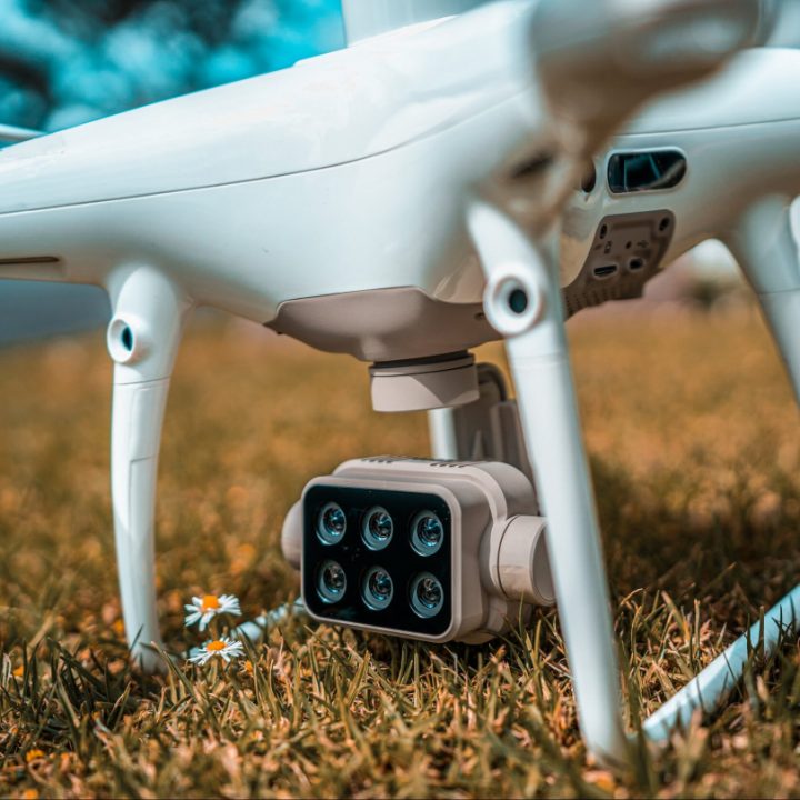
- Elevation and Topography Information: Drones equipped with LiDAR sensors can capture elevation and topographical data. This information helps in creating accurate contour maps and drainage plans, which are crucial for effective land management and preventing soil erosion.
- Insurance and Documentation: Having up-to-date and comprehensive drone-generated maps can serve as essential documentation for insurance purposes. In case of any damage to crops due to natural disasters or other events, you have evidence to support your insurance claims.
- Decision Making and Planning: The data collected from drone mapping can be analyzed and integrated with other farm management software and tools. This integration helps in better decision-making processes and enables you to develop long-term plans for your farm’s growth and sustainability.
- Environmental Stewardship: By utilizing drone technology for precise applications of inputs, you can minimize the use of resources and reduce the environmental impact of farming practices, contributing to more sustainable agriculture.
- Remote Monitoring: With drones, you can monitor your farm from a remote location. This is particularly useful for large farms or farms spread across challenging terrains, as you can access real-time data and respond to emerging issues promptly.
- Early Detection of Issues: Drones can detect problems in the early stages, such as irrigation system malfunctions or crop stress due to nutrient deficiencies. Identifying issues early allows you to take corrective actions before they escalate into more significant problems.
Overall, drone mapping provides you with valuable insights into your farm’s health and performance, empowering you to optimize your farming practices, increase yields, reduce costs, and promote sustainable agriculture.